
Following on from the original Bench Mark post (here), I thought I would have a look around and see if any others were nearby. And so, after a fun evening spent poring over old maps, making notes, glass of wine in hand, I thought I’d spend a few hours stomping around Whitfield trying to find the lost Bench Marks.
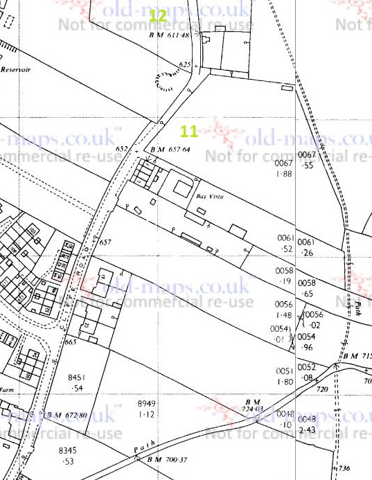
I have used the 1898 1:2500 and the 1969 1:2500 Ordnance Survey maps. There are differences; marks have clearly disappeared, to be replaced by others, buildings have gone, and land has become altered meaning that some marks are now on private property. Here are the maps with the Bench Marks numbered, the photos follow. There are more Bench Marks on the maps that I haven’t numbered yet – I will update the blog when I get round to looking for them!

What follows are the photographs I took of the various remaining Bench Marks, their number corresponding to that on the map.

Tucked away at the side of the house, and quite worn. I wonder how many people living in these houses know they are there?

Clear on a wall on the path.
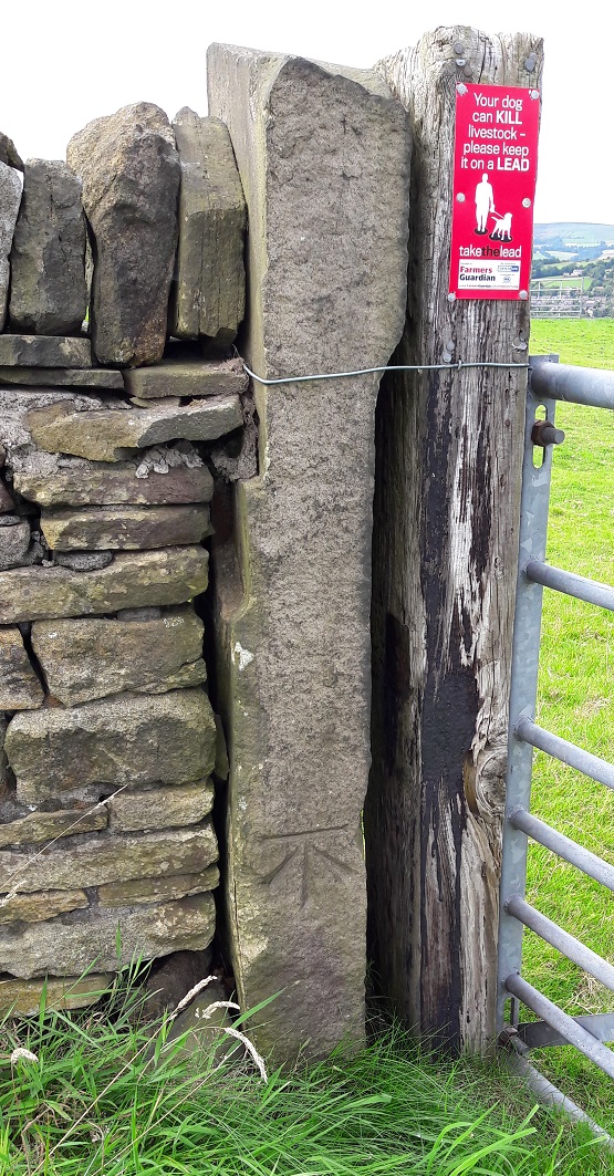
Marked on a gatepost
4 (698.8 ft above sea level)
Originally on a wall running down to Cliffe Road, and now on private land. It may well be still there, but I wasn’t able to see. It is not marked on the 1969 map.
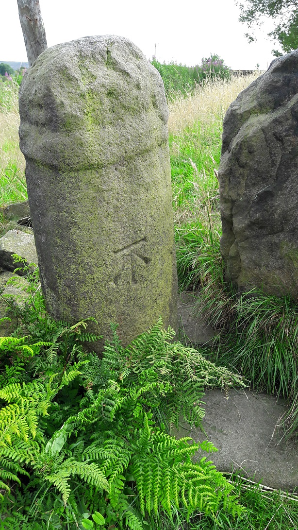
Another gate post, and again very clear and fresh.
In between Marks 5 and 6 you pass through this stile.

Now, I will post more about this stile later on as I think there is a lot more going on here, really quite interesting things, and it deserves its own post.
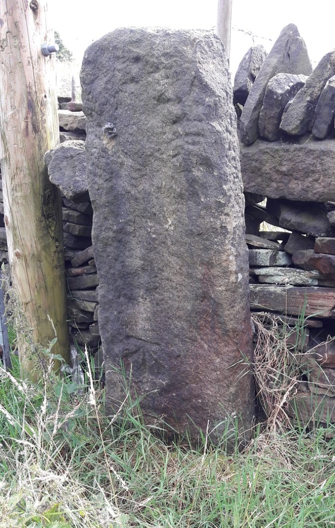
This is a particularly important bench mark as it has been placed on the actual Whitfield Cross. THE Whitfield Cross. The cross was moved from its original position at the top of Whitfield Cross (the road) in the 1790’s and ended up as a stile post in a field. The cross itself is Saxon in date (probably 9th Century) and is of a type known as a Mercian Round Shaft. You can see the band around the top that both dates it… and makes it look somewhat phallic! I will go into a lot more detail about the cross in a later post, as I think it is one of the most important pieces of history in the area, and one of the most overlooked, but for now, let’s move on
7 (682.6 ft above sea level)
Again, on a wall that is now on, I think, private land. I did have a quick look, but couldn’t see anything, so I left it and moved on. This Bench Mark is not marked on the 1969 map.
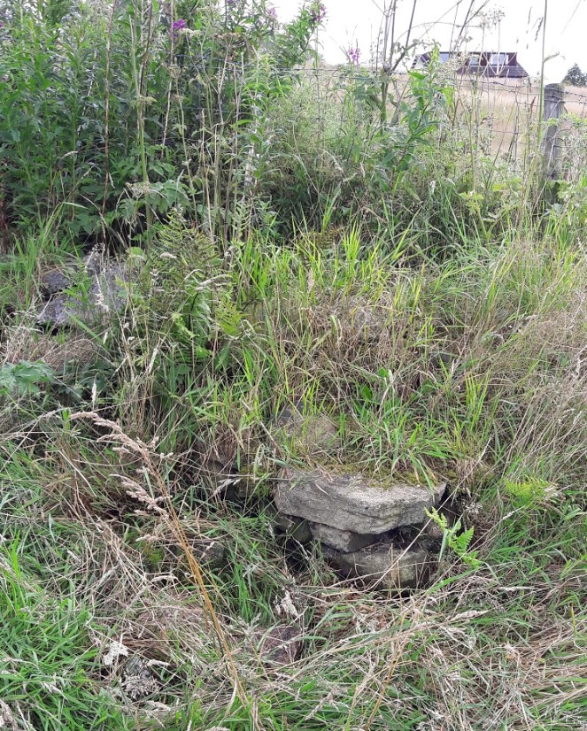
Originally on the corner of a retaining field wall. I searched high and low, even pulling over the stones that had fallen down hoping to find the mark, but to no avail. I suppose a full-scale excavation might uncover the stone, but I’m giving it up as a lost cause. It is not marked on the 1969 map.

A similar story here, too. The stone has gone missing, perhaps one of the stones at the top that has collapsed down, although the wall itself looks like it has been rebuilt at some stage which may explain its absence.

Flatt Farm, on the corner of the farm building, and very difficult to see. It took me a while, but the level of the pavement has risen in the last century or so, leaving the level just visible above the tarmac surface, the arrow now buried below.
Moving onto the 1969 map, there are two additions: 11 and 12. The Bench Marks that are not on the 1969 map have been noted above.

This one should be on the corner of the last house on Bright’s Terrace – the last row of houses on Cliffe Road. I found no sign of it, and it is probably hidden behind the flower bed.
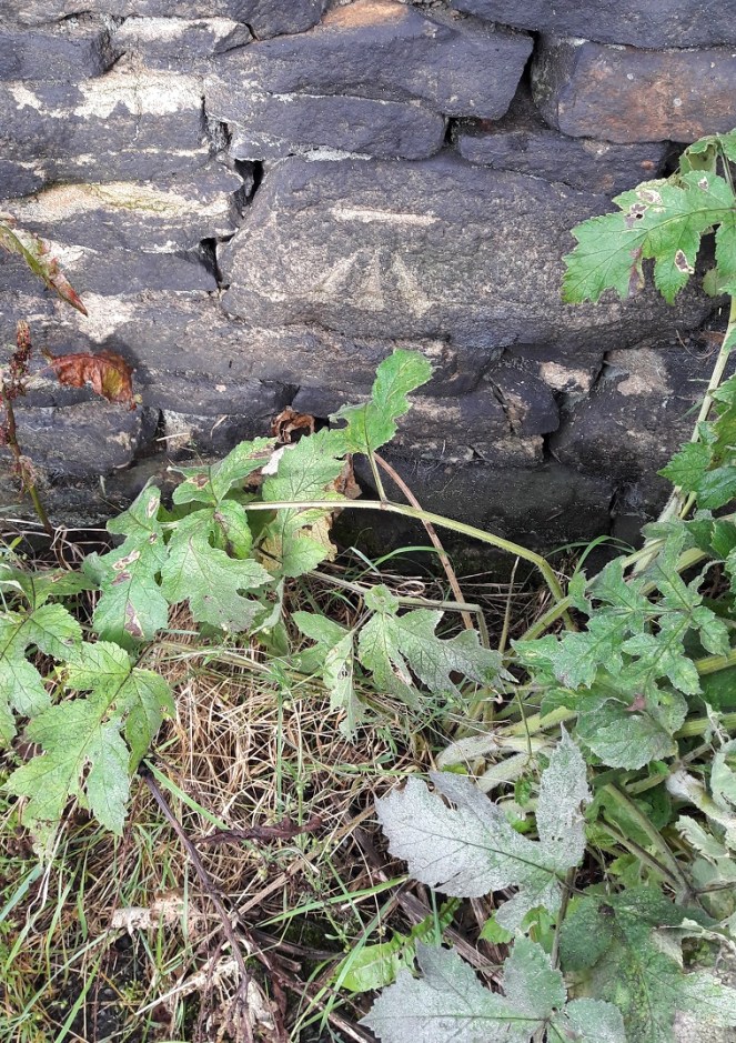
A little down the hill on the right, clear on a wall.
And so ends my brief sojourn – both geeky and fun. I have done a bit more Bench Mark walking, and I’m sure they will feature in future posts, but that’s it for now.
Incidentally, both maps are available for free from http://www.old-maps.co.uk a truly marvellous website that has old Ordnance Survey maps for the whole country dating back to the mid 19th Century, and all for free. Seriously, if you find any of this interesting in any way, hop over and have fun!

One thought on “More Bench Marks”