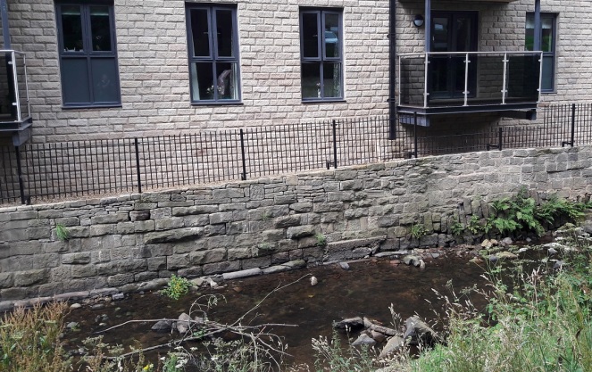
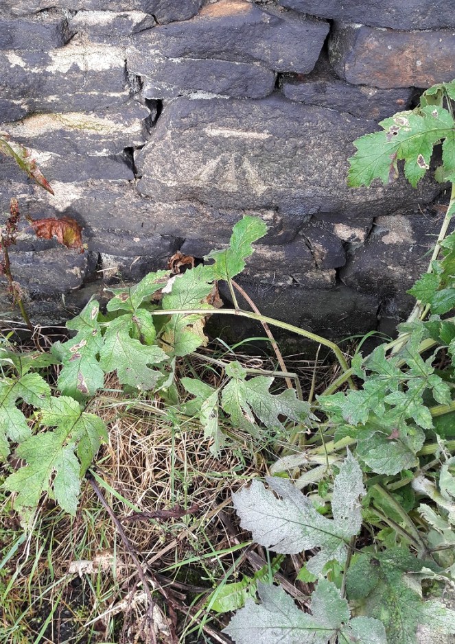
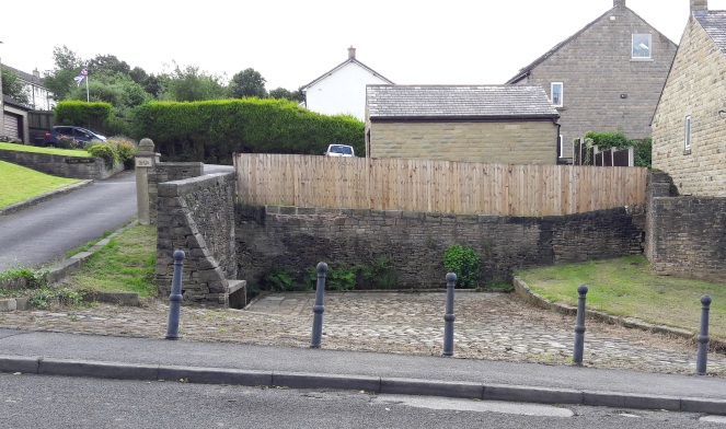
During the sunny weather we had a few weeks ago, James (my son), myself, and some mummy friends decamped to Manor Park for the swings, slides and climbing frames. Now, James is 18 months old and desperate to explore the world around him, so when we decided to plonk our children into Shelf Brook for a spot of paddling and water-based hi-jinx, he took to it like a duck to… well, you get the idea. The brook at that point is shallow and slow moving, perfect for picking up stones and throwing them, something he loved doing.
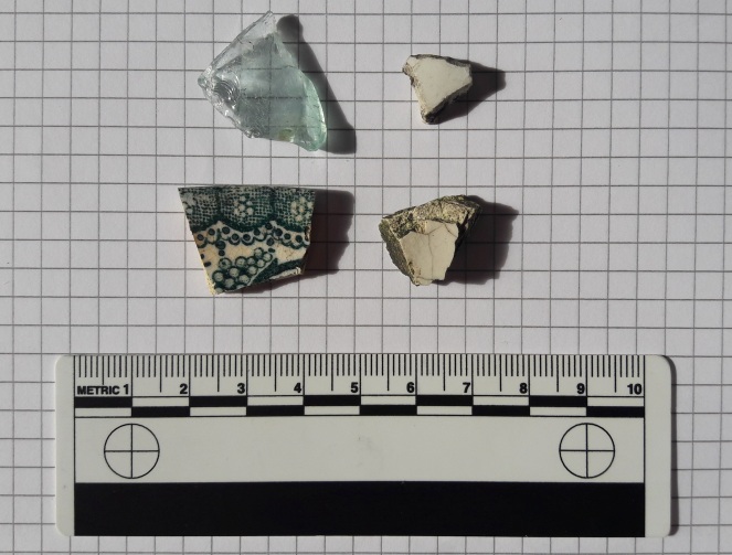
But it is, I have noticed, also a great place to find bits of pottery and other interesting bits lying in the brook. This was our hoard for the day:

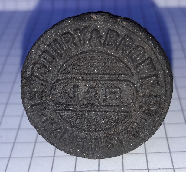
I found the piece on the left, immediately recognising it as part of a marmalade jar – it is a gray glazed stoneware, with characteristic vertical ridges on the exterior. I say marmalade, but actually they contained all sorts of preserved fruit, with a paper label pasted onto the exterior to say what is within. Date wise, they are long-lived… so anywhere between 1870 and 1920, or thereabouts. You can still buy them, sometimes with the labels intact, quite easily – on ebay for example. Here’s what they look like when whole:
I actually have a whole one that I managed to piece together from a dozen sherds I found on a Victorian tip, and it now holds pens and pencils. Sherds of this type are quite a common find, and as they are so recognisable you start to see them everywhere, as future blog posts will show.
The sherd on the right was actually found by James – a proud father/son moment… his first piece of pottery! Of course, being 18 months old, he simply threw it back into the brook where it made an audible ‘plop!’. It’s a sherd of roughly painted, almost sponge ware, pottery, and quite a lovely one too, with a sort of floral leafy design in a beautiful blue colour. It is difficult to see what the original form of the sherd was – probably a bowl or plate. The date is difficult, too. I would guess Victorian, and potentially early Victorian.
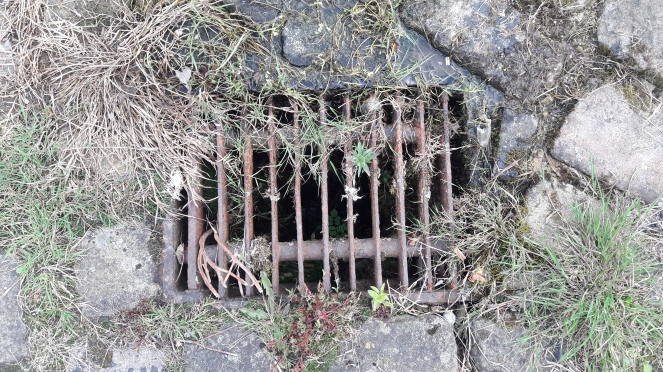
Both of these sherds have been rolling around the Shelf Brook for 100+ years, and the wear pattern on each tells that story. Both are discoloured by the peat brown water coming down from the moors – the marmalade jar particularly so – and both show signs of worn edges. The longer a piece of pottery has spent being tossed about by the water and banging into stones, the more worn it gets, and eventually the edges will become so rounded that it resembles a pebble. The marmalade jar has comparatively sharp edges, but this is probably due to the fact that, as a stone-ware, it has been fired at a higher temperature and is very hard wearing. The decorated sherd is less fortunate, and has already become rounded at the edges. Interestingly, the glaze on this sherd is crazed – that is, it is covered in tiny cracks. Heat is the usual cause of this, and as it is not a cooking pot, we may assume that the vessel was at some stage placed in an oven either to heat up, or to keep food warm, and probably many times before the vessel was broken.
As we were pulling the sherds out of the brook and looking at them (there were plenty of them, but these were the two that caught my eye), my friend asked “how did they get here?”. Actually, a very good question.
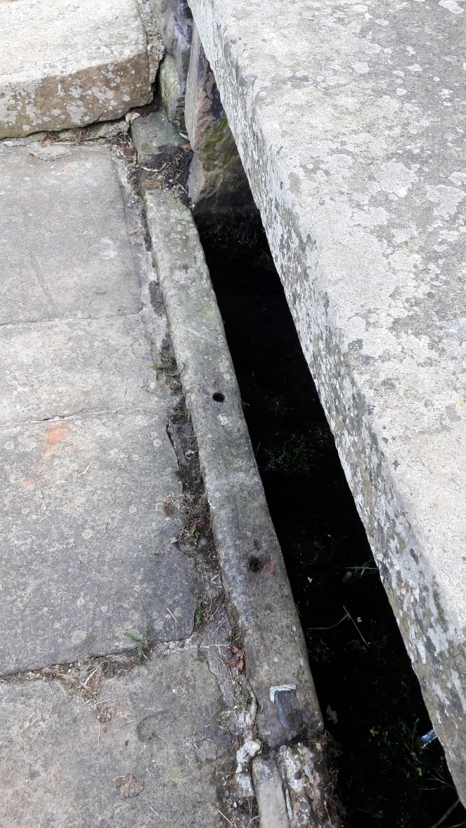
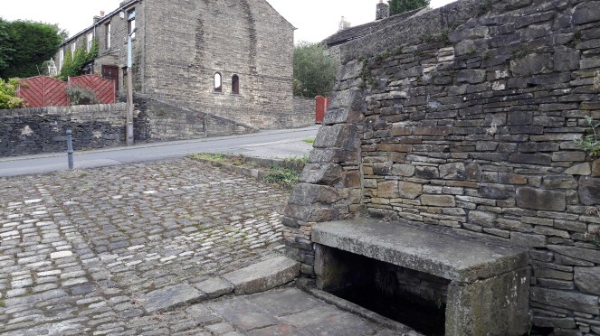
There are potentially two ways. The first is that there is a Victorian tip upstream somewhere, and the material is washing out of the bank. Possible, but I don’t know of any tip upstream (not that that is a guarantee of anything). The second, more probably route, is that at some stage along the course of Shelf Brook, someone threw the pottery into the water. Humans are essentially lazy, and it is almost an archaeological law that people will only move rubbish as far as they have to in order to no longer be able to see or smell it. And no further. The brook offers a perfect place to dump waste and rubbish, and as pottery is virtually indestructible, it washed up here in the calm and shallow area before the sluice. For all the good they did us, the Victorians were some serious litter louts.
Anyway, as usual, keep your eyes open, and any comments, please let me know.