What ho! lovely people, What Ho!
I know it’s a stereotype that we Brits moan about the weather, whatever the weather, but seriously… why is it so ridiculously hot? It can stop being over 30 degrees any time it would like to… soon, ideally.
Anyway, enough of the moaning – it won’t make any sense in 6 months time anyway (and by which time we shall be complaining about being too cold!)! instead, let’s look at the subject of today’s article: holy stones (that is, stones with holes, rather than sacred rocks).
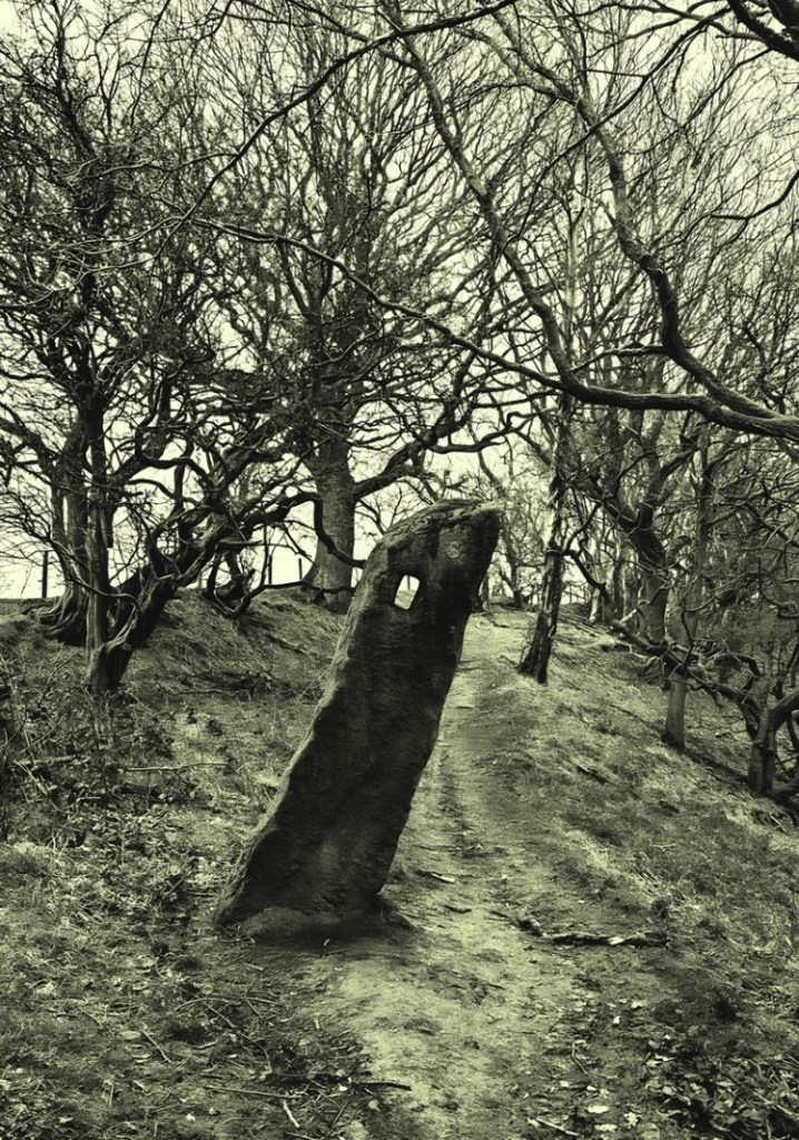
Briefly, years ago, I started to notice stones with a squarish hole carved into them. My first thought was that they were some sort of gatepost, but the hole seemed unusual, and I couldn’t work out quite how they would function. Ok, interesting, I thought.
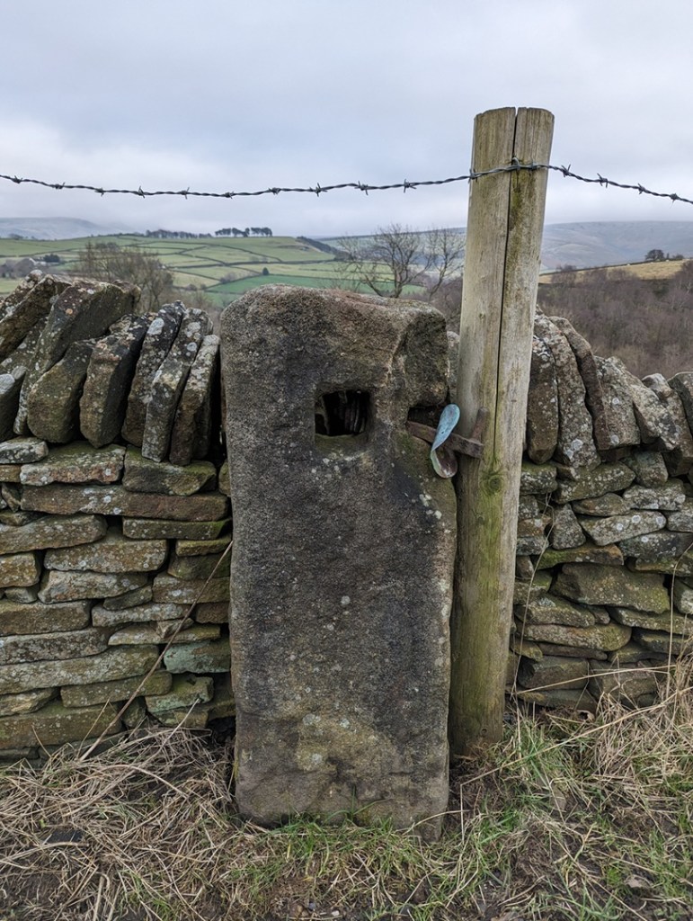
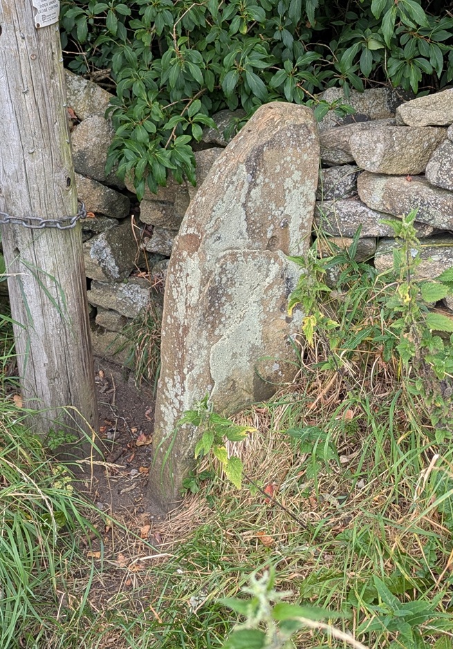
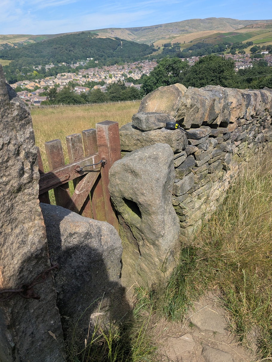
Characterised by the (mostly) single hole of a square-shape roughly carved into the upper part of the upright stone. In this area, they are of an undressed coarse gritstone, very much unlike the newer carved gateposts, which have a smoothly dressed surface – these are rough. They also looked older than any other gateposts, seemingly quite worn and in no particular shape, simply vertical and between 1 and 2 foot accross – they seem part of the landscape, grown organically, rather than imposed onto it and standing as markedly different, as the more modern gateposts do. In fact, so much so, that the first one I noticed properly I thought might actually have been a reused prehistoric standing stone.
But as I did some research into the medieval and post-medieval trackways, I began to notice that these stone were found along the older roads in the area, and often located at junctions in tracks, where they split, or at particular curves, and I began to think of the holed stones as being track markers, with the hole perhaps taking a piece of wood to act as a finger post?
I was wrong! They are definitely gateposts – the full explanation is explored here in this article, but basically a piece of wood was inserted into the hole, this then had two holes drilled into it, and then another piece of – green – wood was curved into the two holes making a loop, and it was into this that the gate was firmly fixed. This would explain, also, why the holes in the stones never face where you would expect the gate to be.
Being that sort of person, I plotted all the ones I know about (currently 26) on a map, and a surprising pattern emerged. They all seem to be clumped around early field systems – the ones with the long thin selions, and with evidence of ridge and furrow. These ‘fields’ had no need for walls and boundaries, they were part of the “open field system” in which land was communal, and allotted to individuals within the settlement on a rotating basis. So the concept of a stone gatepost was not needed here until about 1433, when the Talbot family took ownership of the Glossop estate from the monks at Basingwerk. The Talbots, shrewd businessmen, understood that not much money could be made from peasants growing subsistence crops, so instead changed the local economy to sheep farming – the peasants got paid, the Talbots made money from the wool. Of course, sheep wander off, so we start to see walls appearing at this time (you also need to keep the sheep of the small crops you are growing). Which leads me to my working hypothesis: I wonder if these gateposts are the first ones that appear after the mid 15th century, as the fields are increasingly enclosed? Certainly in his 1815 book, General View of the Agriculture and Minerals of Derbyshire, John Farey notes that “Anciently, the Gates in the Peak Hundreds were formed and hung without any iron-work“, and proceeds to describe the holed stones in use as gateposts. That he uses the term “anciently” suggests great age.
This got me further thinking… if the gateposts are associated with medieval fields, might they not tell us where these fields were situated, assuming we don’t know? I don’t know the answer to that, but watch this space for more research.
However, I want to share with you a small field trip I did (in association with Lee, of the Punk Archaeology Podcast) to collect some data on these holed gateposts. A sample of them around the Whitfield Field System was explored, and I thought you might be interested in the results.
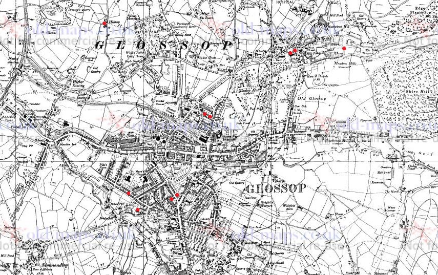
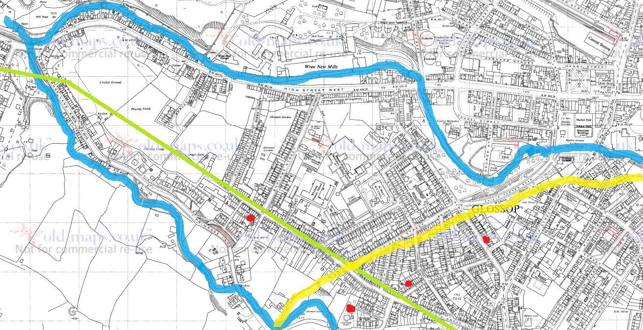
This is the map of the posts – the blue arrows mark each one, with its name:
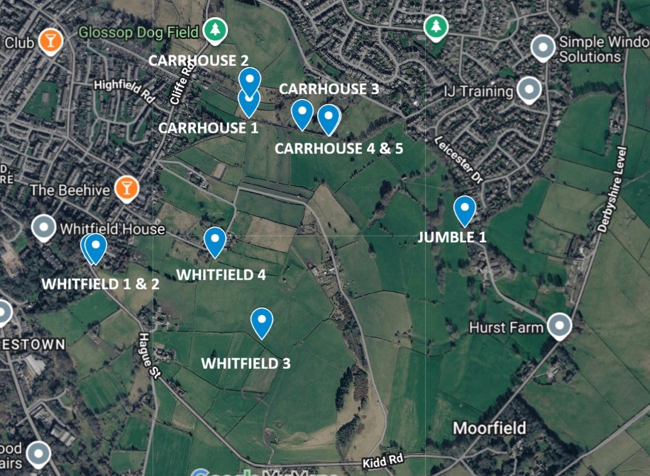
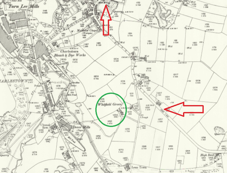
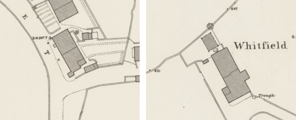
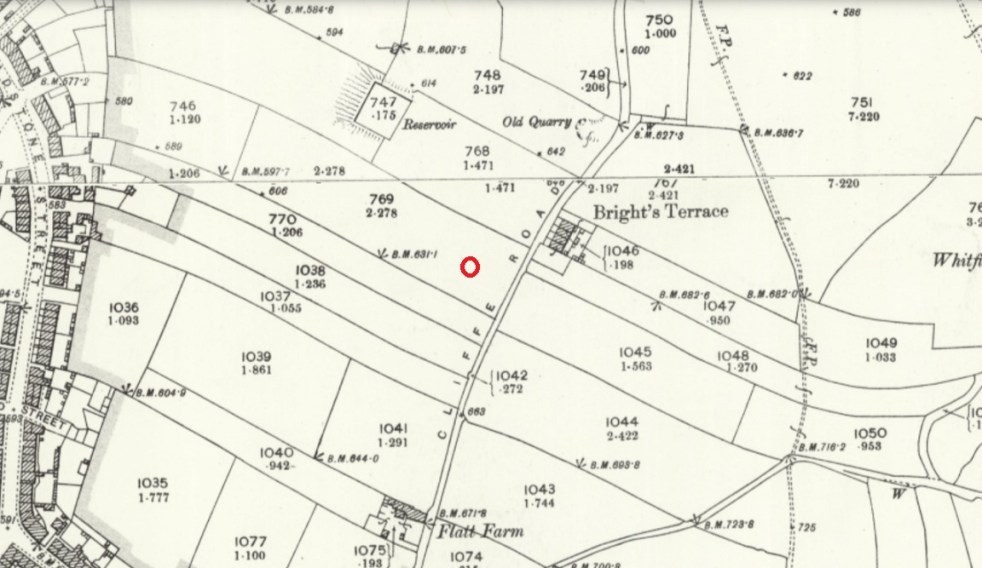
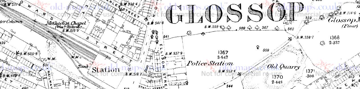
You can see the field system – the long thin ‘reverse-S’ shaped fields throughout the middle, but it is clearer on this 1890 map as the area has not yet been built up:
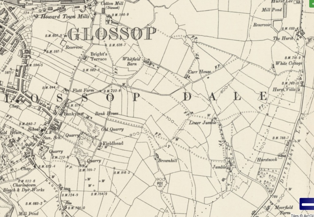
Everything on either side of Cliffe Road,, and below the word Glossop, as well as all kinds of stuff east of there. It’s a jumble, which is, in all honesty, probably how Jumble Farm got its name! Honestly, this part of the medieval field system in Whitfield is not talked about very much, and it needs to better known.
So then, what did we see on each of these points? Well, 10 of these stones with square holes. We measured the holes with the idea that if they all had broadly the same size hole, then they might be of a similar age/date/construction – I’ll put the size under each photo (in inches, not cm… it seemed more appropriate, and whilst the farmer making the hole wouldn’t be measuring strictly, he would have an idea in his head of the ‘right’ size the hole needed to be). I’m also giving the ‘What 3 Words’ location to each of the stones – I kno wit’s a bit gimmicky, but the idea of being able to enter 3 words into a free app, and be able to get the location down to 1m square is truly bean-altering. I’m not sponsored by them (I wish!), but I honestly believe W3W is a great tool… providing you have a phone signal!

Just behind it is Whitfield 2. This one on private property, and given its proximity to Whitfield 1, we suspect it might have been moved, but who knows.
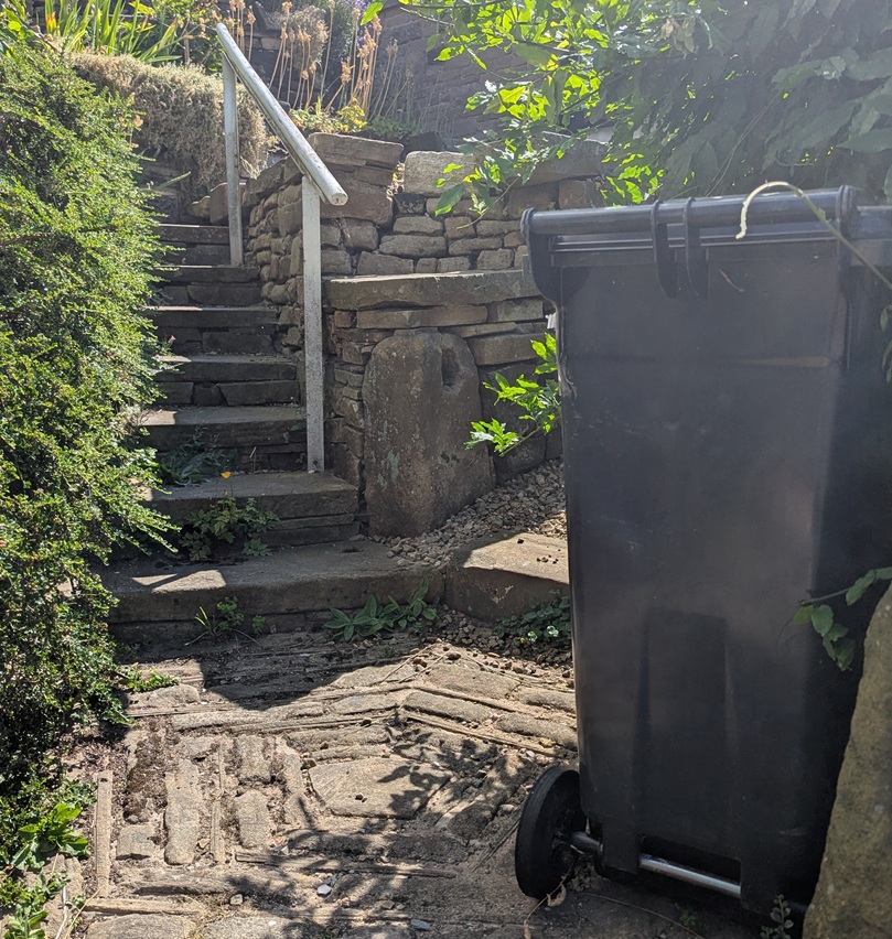
The next one is difficult to spot – right in the middle of a field, away from any paths, but not hidden from the prying eyes of binoculars:
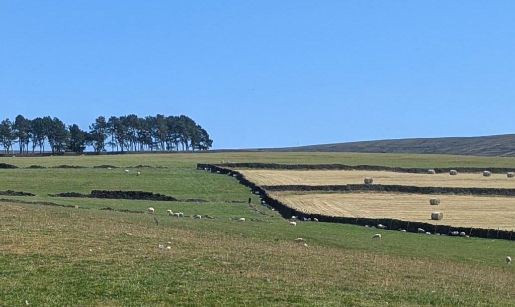
Previously I had asked Master CG if he could see if it had a hole in it – I explained that my eyes can’t see from that distance… he replied yes, it did have a hole, and then muttered something about “ancient” presumably referring to the stone, and “put in a home“… which I didn’t fully understand.
Next up we have this somewhat disguised beauty:
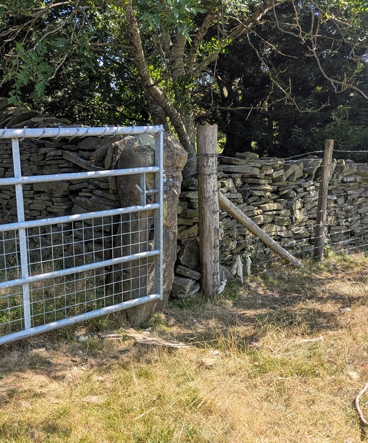
The other side also reveals another surprise – an Ordnance Survey benchmark, although this one does not appear on any map I have seen – it is a lost benchmark without a height above sea level. I wonder if it was carved, but the height was either not recorded, or somehow was unreadable, and it was never resurveyed.
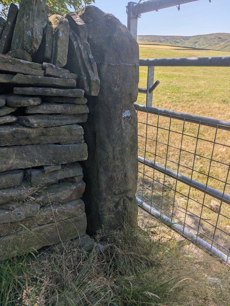
Moving on, along this line, we come to what I have named Carrhouse 1, as it actually sits on Carrhouse Lane:
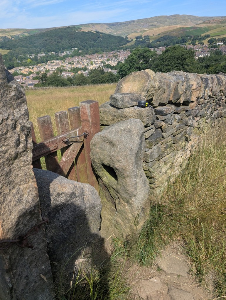
This is being used as a stile/gate, but the other stone, opposite it, is its mirror – same height and rough shape – only it doesn’t have a hole in it. Odd, but I feel the two must be connected, somehow.
On we go, along this path a short distance, across two fields, and over the stile there, immediately on the floor at the left, and lying face up, is Whitfield 5:
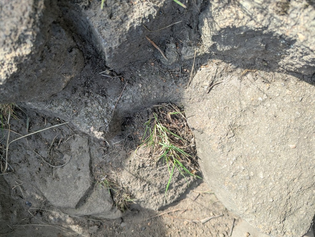
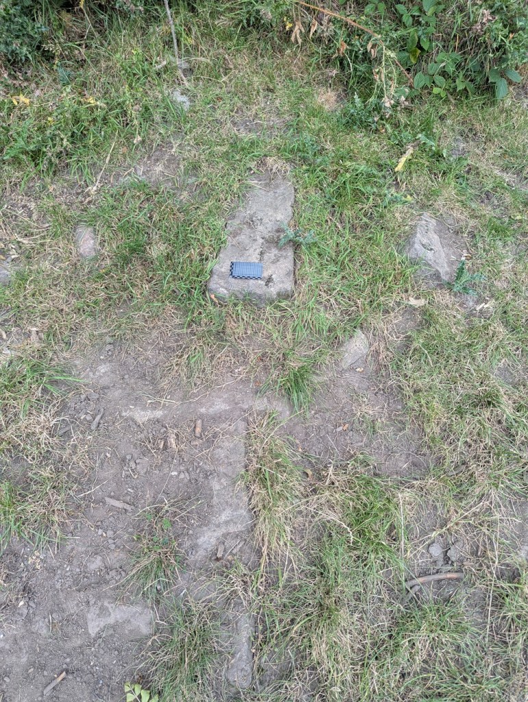
Clearly it had been broken at some stage in its history – the upper part of the holed bit has sheered off – and the farmer has replaced it with a stile… but the hole is still visible.
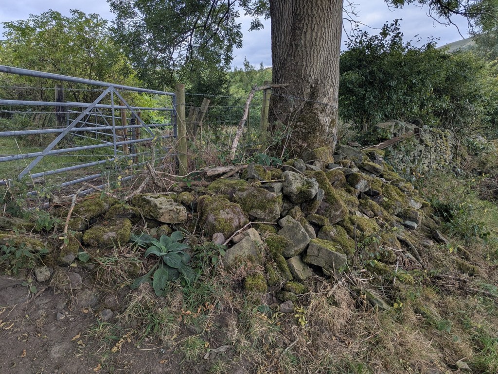
Back the way we came, and left along Carrhouse Lane, on the right we soon come to a hugely overgrown gateway, and nestled against the newer gatepost is:
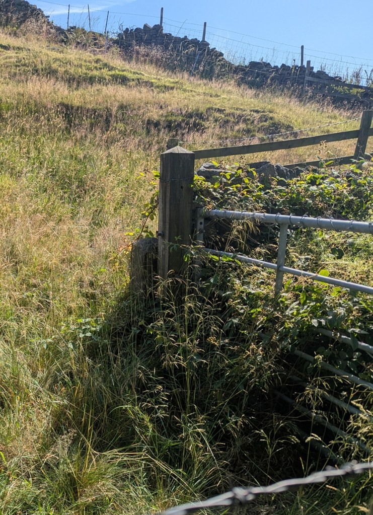
I shall get a better shot of this one, I promise, but you can just about make out the dark area that is the hole in the short post.
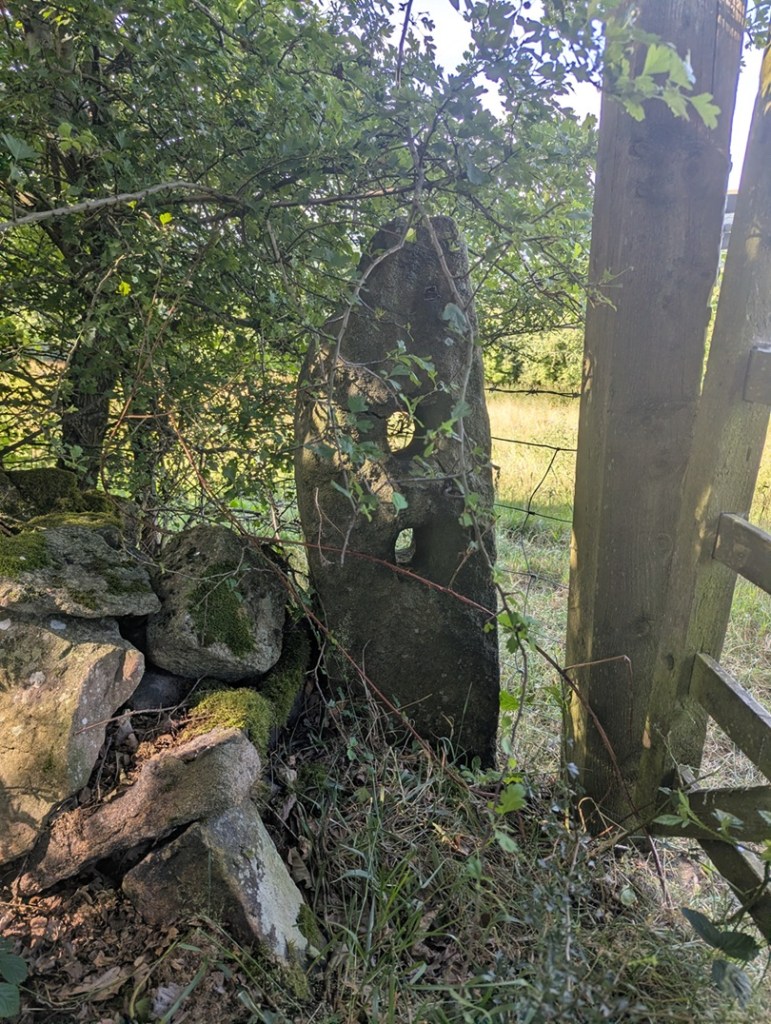
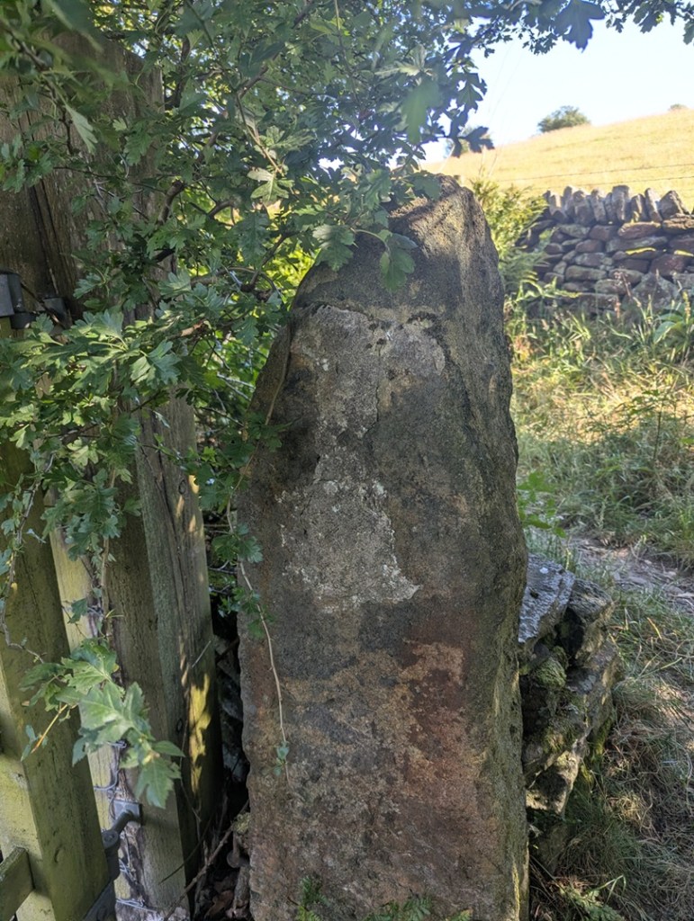
A little further on, on the left, is this pair of beauties:

The post on the left has two holes in it, and is a bit of an anomaly, although there are other examples of multiple holes around the area. It has actually been split at the upper part of it, the result of a farmer sometime in the Victorian period drilling a hole to take an iron pintle, and cracking the rock.
The other side of the gateway confused me at first, though: there was no hole… or so I thought. Looking more closely, it seems that the hole has been cemented up, possibly to prevent or repair a crack?
Finally, walking on the path toward Jumble Farm, we find this one, shorter than most, just before you get into the farmyard:
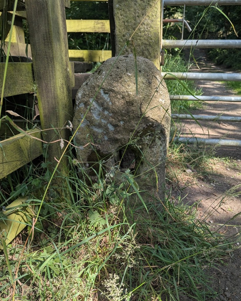
Well there we are – a small selection of holed stones on a quick walk around Whitfield, and all associated with the Whitfield Medieval Field System. I’m not saying it proves my hypothesis, but they are all clearly of the same age, with the same size hole, and same rough shaping – we just need to identify that age. And I would argue the late medieval period (post-1450). More research is definitely needed – I have 26 holed stones that I know about – they’re all in a map that I’ll share with you below, and you can go and look at them yourselves – each one is marked by a blue arrow.
However, there are doubtless 100s more out there, lurking, hidden… lost. And that is where you come in. Please, do me a favour… if you know of any, or after reading this notice some in the Glossop(ish) area, please let me know – send me a photo, a dropped pin in Google maps, a What 3 Words, an email telling me where it is… anything. But let me know, as I think there is more here to be uncovered regarding land use and field systems in the medieval and post-medieval periods. Exciting, and I want you all to share in this, so go forth and do some research that might help us.
The map is here, just click on the link: Map of Holed Stones
Stay in touch!
Right, that’s all folks for this time. My thanks to Lee of the Punk Archaeology Podcast (first episode is coming soon) for the help in exploring this group of stones.
By an amazing coincidence, holed stones also feature in the latest Where/When, available in the usual places (alright, Dark Peak Books), but also directly from me (link here), and I can post it to you.